
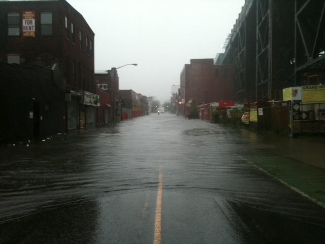


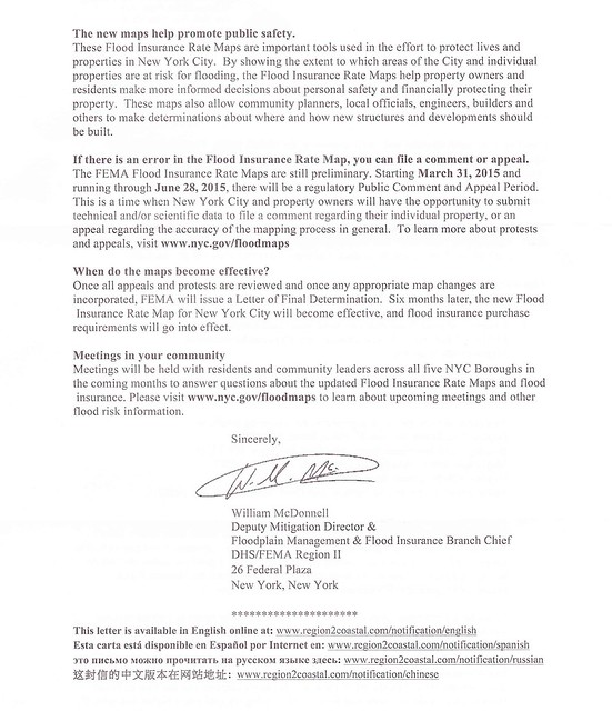
Last week, quite a few of my friends in Gowanus received letters from the Federal Emergency Management Agency (FEMA) regarding updated flood maps for New York City.
The Agency encourages everyone to identify their property's flood risk by checking the Preliminary Flood Insurance Rate Maps.
In the letter, FEMa stresses that the maps are only preliminary. A public comment and appeal period began on March 31st, 2015 and will continue until June 28th, 2015. During this period, homeowners can challenge FEMA's new maps by sending technical and/or scientific data regarding their individual property.
After FEMA evaluates all challenges and appeals, the new maps will be incorporated and "flood insurance purchase requirements will go into effect."
What exactly will all this mean for residents in the footprint of the new flood hazard areas?
A Gowanus property owner just reached out to me late last week and sent me some questions that she has forwarded to our public officials regarding this matter:
Where can people find information on how to challenge the proposed maps? Are there any resources available to help people understand the challenge process?
Challenging this designation would require a surveyor or engineer. Are there any resources to help a homeowner with this?
Since people have just received notice of the proposed map changes they have lost at least two weeks of a 90 day comment period. Can this be extended?
Are condominiums and cooperatives treated differently or the same for insurance purposes.
Is there a difference between Zone X and "shaded" Zone X and if so what is it?
Is there some information available about flood insurance affordability?
When can lenders require flood insurance in Zone X?
Obviously, there is quite a bit of uncertainly regarding this matter. Below are just some links that may help.
Here are the flood maps from the FEMA site:
http://floodmaps.fema.gov/prelim/PrelimData/New%20York/Kings%20County/prelim_issue_date-2013-12-05/FIRM/3604970211G.pdf
Here is another site which is a bit easier to use:
http://www.region2coastal.com/view-flood-maps-data/what-is-my-bfe-address-lookup-tool/
For background and information on how to object to the proposed flood maps here is the link to the notice that was published in the Federal Register:
https://www.federalregister.gov/articles/2015/03/16/2015-05852/proposed-flood-hazard-determinations#h-4


.JPG)


