
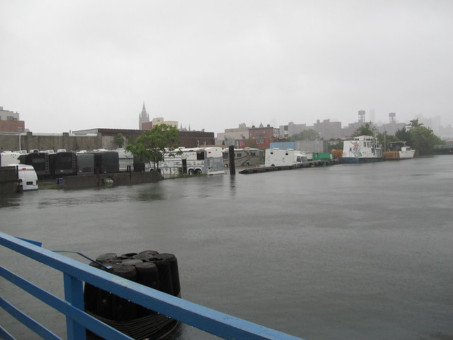
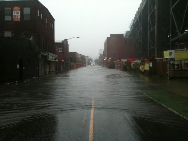
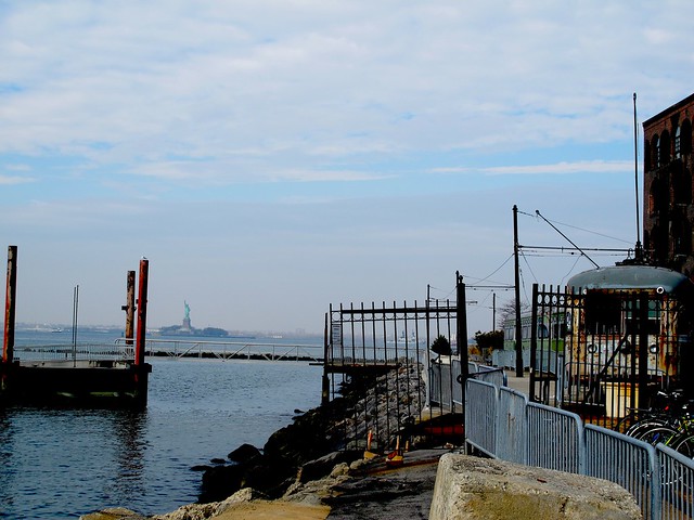
Gowanus Canal overflowing its banks during Hurricane


***Reminder***
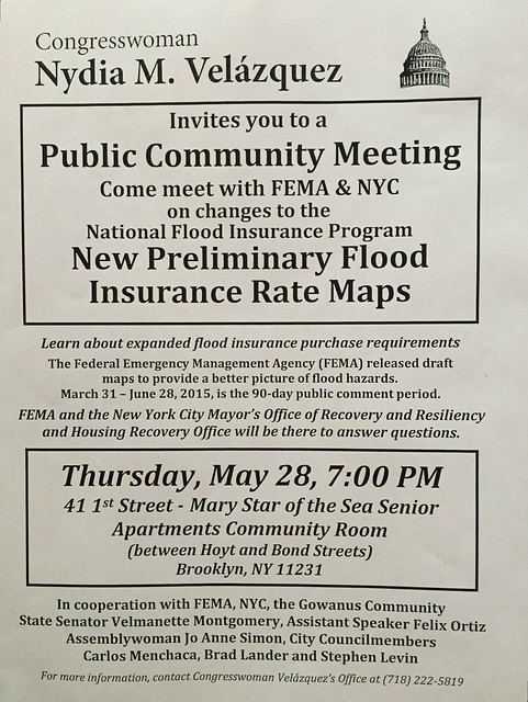
This Meeting Is This Thursday
Here is why this meeting is important:
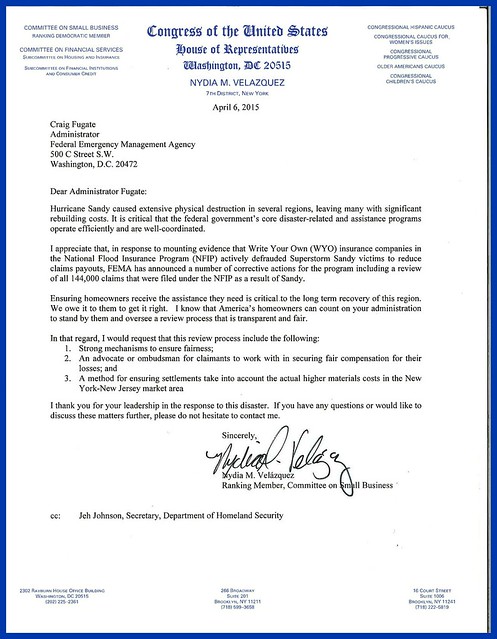
In the past few weeks, the Federal Emergency Management Agency (FEMA) sent out letters regarding updated flood maps for New York City to all property owners in or near the Special Flood Hazardous Area newly identified by the federal agency.
The Agency encourages everyone to identify their property's flood risk by checking the Preliminary
In the letter, FEMA stresses that the maps are only preliminary. A public comment and appeal period began on March 31st, 2015 and will continue until June 28th, 2015. During this period, homeowners can challenge FEMA's new maps by sending technical and/or scientific data regarding their individual property.
After FEMA evaluates all challenges and appeals, the new maps will be incorporated and flood insurance purchase requirements will go into effect.
If you received the FEMA letter because your property is either is zone A or Zone X, you need to take the time to understand what all of this will mean. This has some very important ramifications beyond getting flood insurance.
If you need legal help regarding this issue:
Two weeks ago, I was contacted by Antony Gemmell, Staff Attorney for New York Legal Assistance Group, a non-profit organization which provides free legal services to people who were impacted by Superstorm Sandy.
Gemmell let me know that New York Legal Assistance Group "offers advice and representation on a wide range of legal issues related to Sandy, including flood insurance."
Please avail yourself of the organization's services by contacting NYLAG's Storm Response Unit (SRU) client intake team at (212) 584-3365 or stormhelp@nylag.org.


.JPG)


