Showing posts with label Flooding. Show all posts

Saturday, October 27, 2018

Sackett Street Flooding: When It Rains A Lot In Gowanus

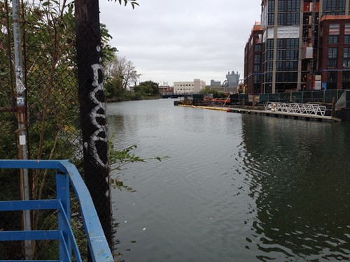
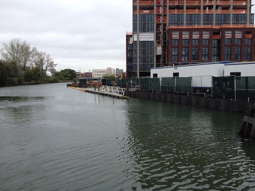
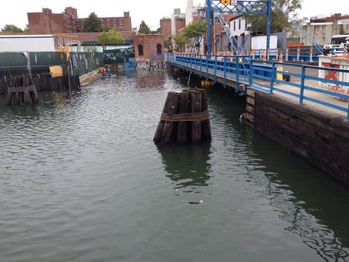
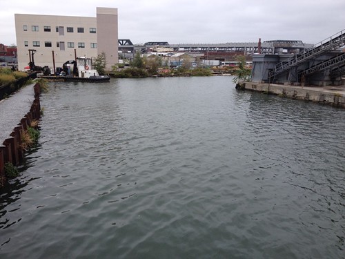
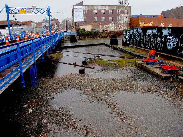
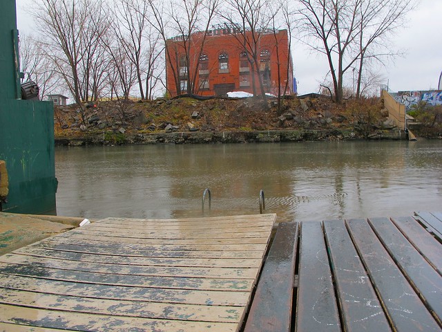
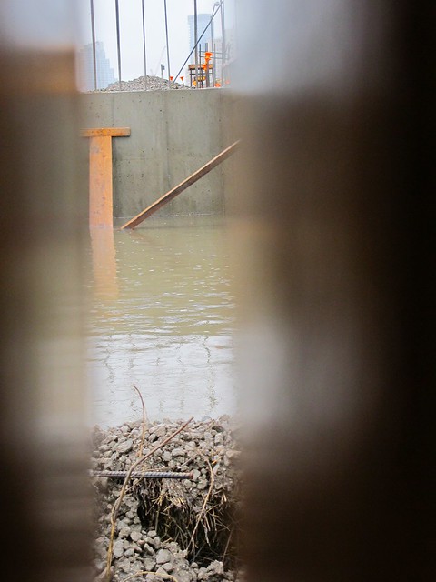
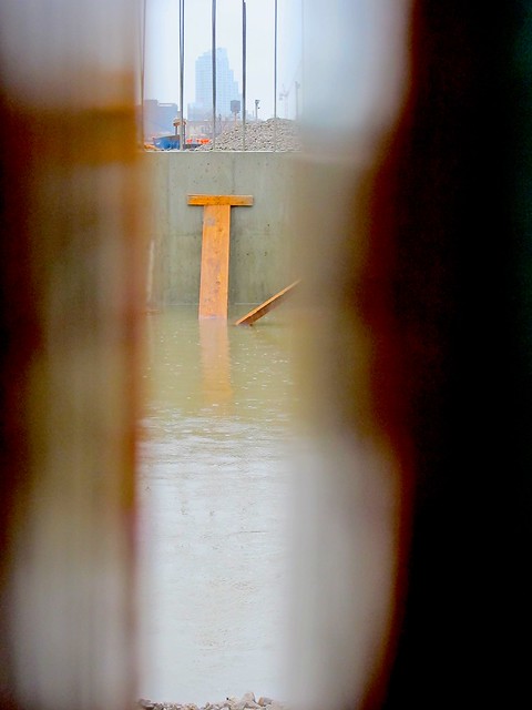
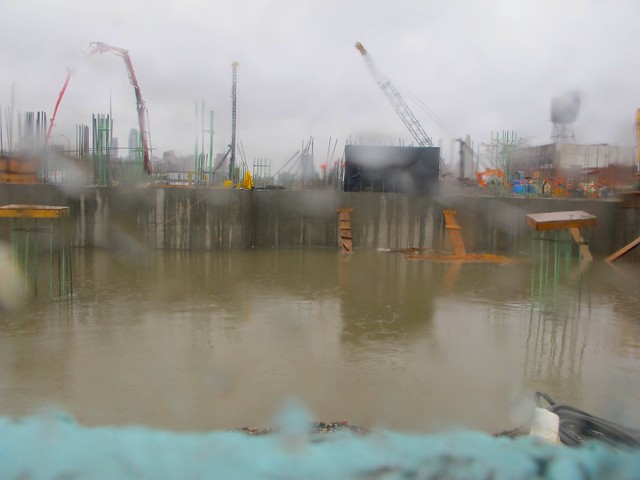
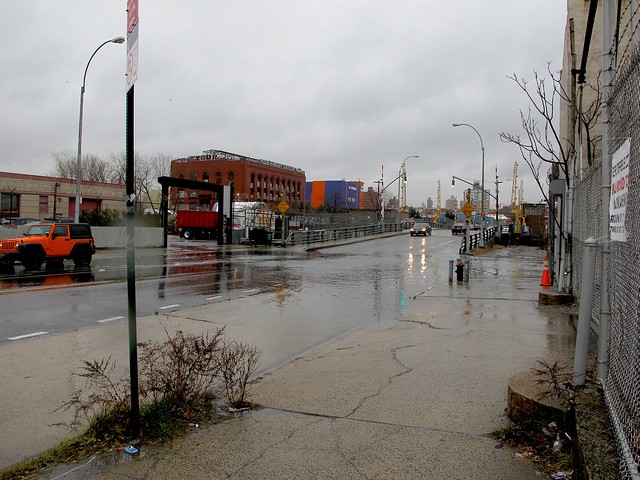
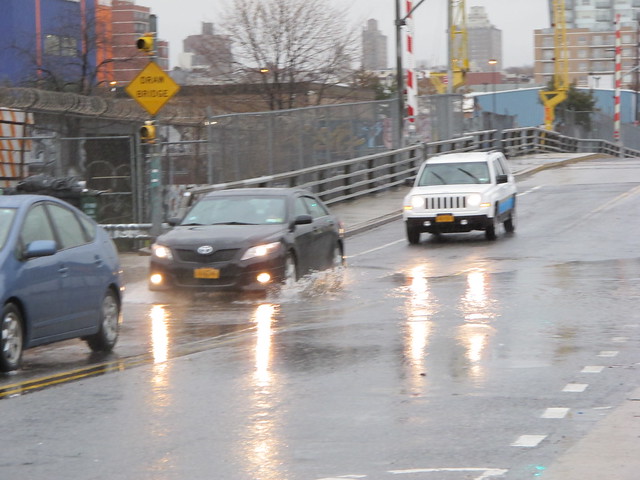
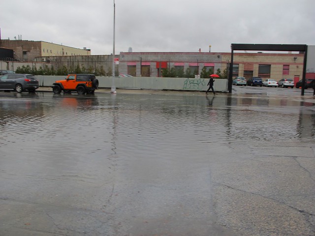
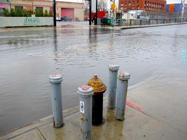
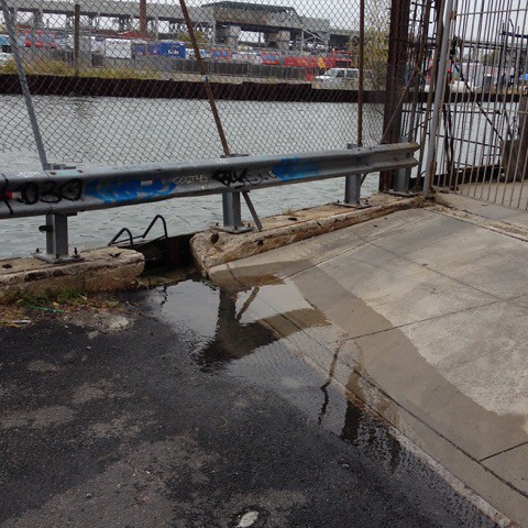
Friend Margaret just sent us the photo above, taken today in Gowanus.
Looks like Sackett Street is flooding as the polluted canal breaches at that street-end after a day of heavy rain.
If you have some photos of flooding in the Gowanus area today, please send them to us.

Read more
Saturday, March 03, 2018

Aftermath of Nor'Easter Riley In Carroll Gardens

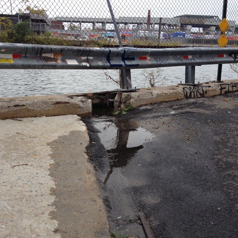
On Huntington Street last night
Photos above courtesy of Carroll Gardener Matthieu

Yesterday sure was a windy, rainy day. Winterstorm Riley, Nor'easter or a Bomb Cyclone,  whatever you want to call it,  the bad weather left a bit of a headache for some Carroll Gardeners.

Last night, PMFA received an email from local resident Matthieu, who wrote:
"I came home to this crazy scene tonight on Huntington Street. Sad to see another nice tree being cut down but felt lucky as my car was parked right in front the SUV that got crushed. Fortunately no-one got injured."
He says that a crew came out pretty swiftly to cut up the tree.

Untitled
Untitled
Untitled
Spotted on Second Street this morning
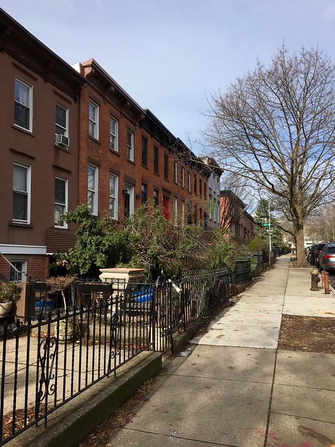
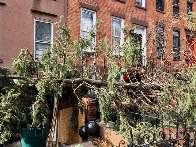
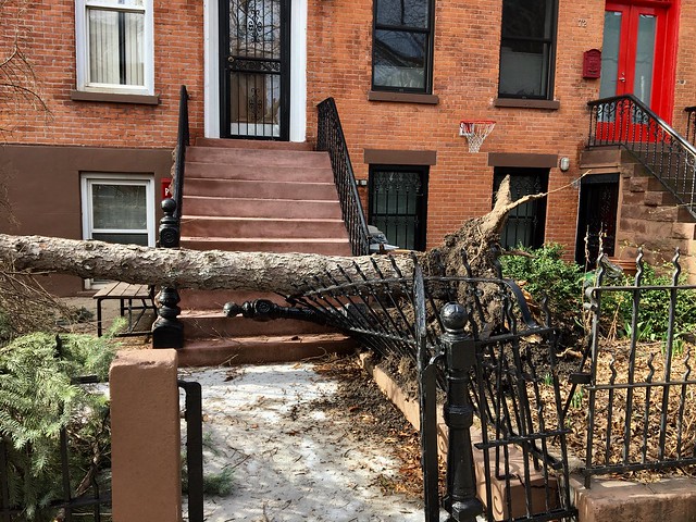
On our walk this morning, we spotted this uprooted pine tree that also came down last night on Second Street between Bond and Hoyt Streets. It crashed into the two neighboring yards, taking down a fence and banister. 
Untitled
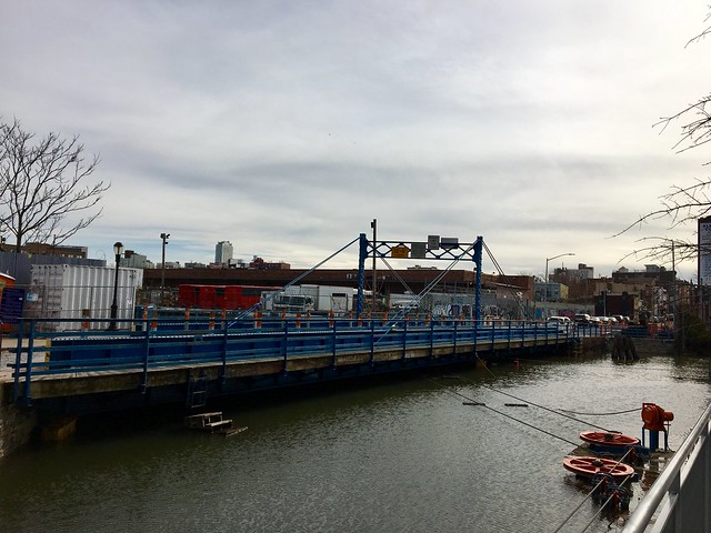
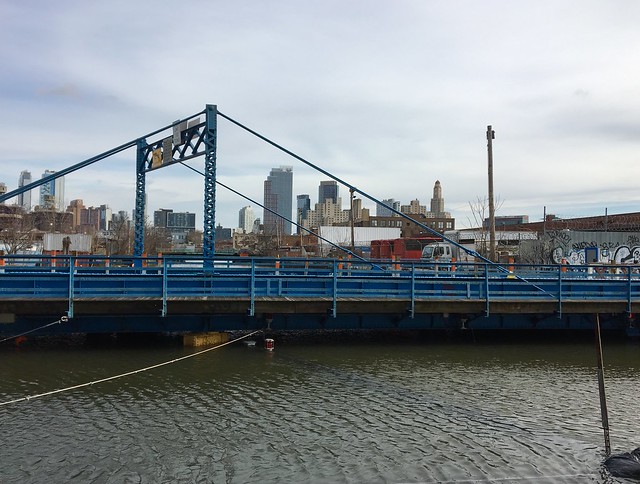
Carroll Street Bridge this morning at high tide
Untitled
Untitled
Untitled
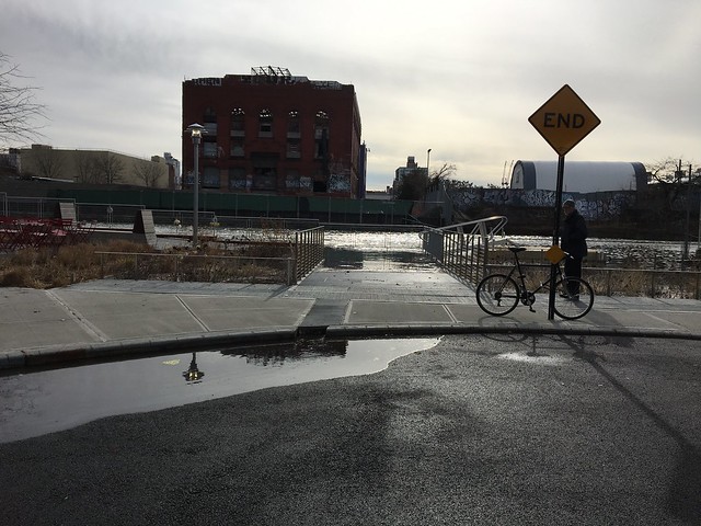
The street end at Second Street this morning
Untitled
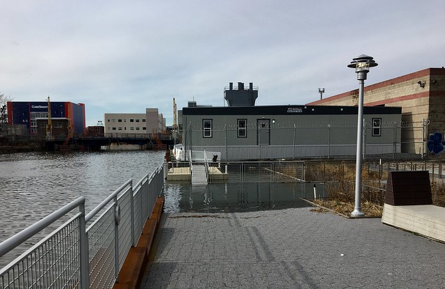
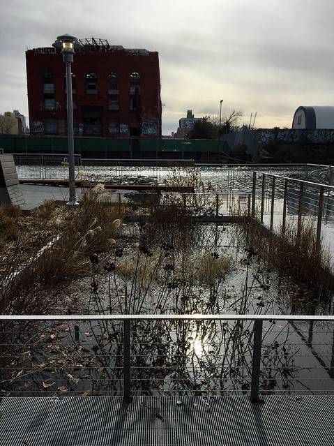
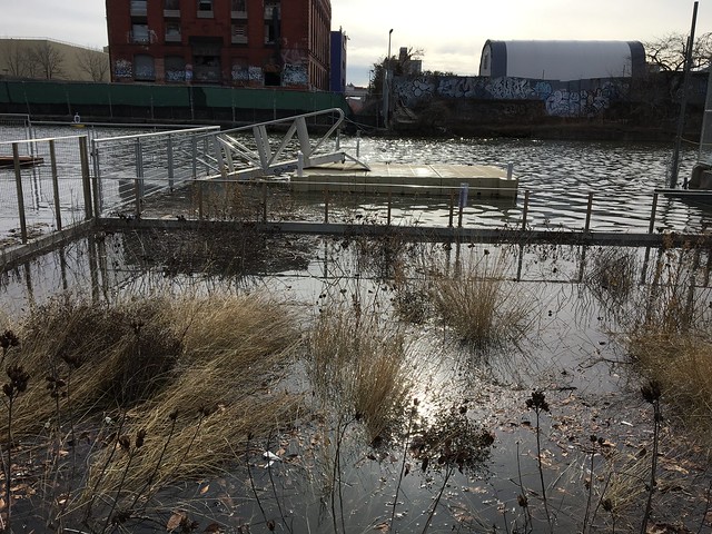
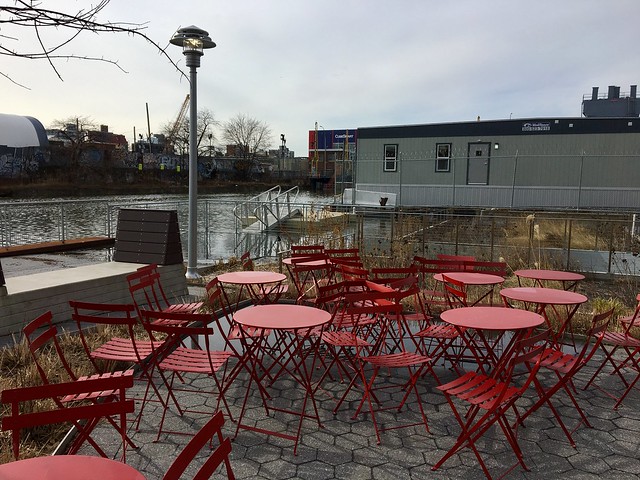
Lightstone's public esplanade at Second Street and the Gowanus Canal this morning
Untitled
Untitled
Untitled
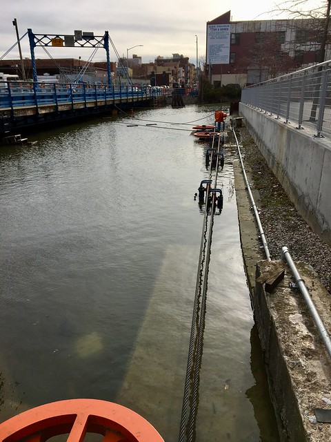
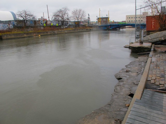
By 9 am this morning, the clouds had lifted and the sun had come out. It was high tide and the water level of the Gowanus Canal was quite dramatic. There was little clearance under the Carroll Street Bridge and its mechanics were submerged.
The water level at the street end at Second Street was slowly rising, covering  the Sponge Park and covering parts of the public esplanade at  Lightstone's 363-365 Bond Street rental development.

The development site on Carroll Street next to Lavender Lake at 9am this morning.
photo courtesy of  Mark Karwowski

This photo shows the site on Carroll Street right next to Lavender Lake. It was taken by my friend Mark this morning.  "Ripe for development?'" he asked, referencing the fact that New York City plans to rezone the Gowanus corridor to allow more residential development, though the area is a FEMA flood zone.

Read more
Tuesday, November 29, 2016

On This Rainy Day, Third Street In Gowanus Floods Once Again

Photo credit: Friends and Residents go Greater Gowanus
 

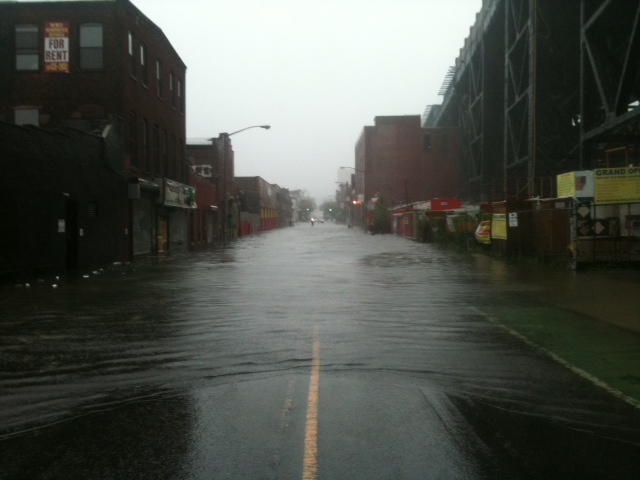
We just heard from a reader that there was quite a bit of flooding near the Third Street Bridge on this rainy afternoon. This was confirmed by Friends and Residents of Greater Gowanus (FROGG) which posted the photos above on its Facebook Page. Police had to actually close the street and tell everyone to turn around at about 2:30pm. They are now letting cars through again.

FROGG, whose mission it is to "work towards an eco-safe and healthy Gowanus Canal" writes :
"There has always been ponding on the south side of 3rd Street here, and cars would take the north side of the street to pass through, but since the large 700 unit Lightstone development has opened, the street drain just up the hill at 3rd & Bond fails to drain. Water now stands a good foot deep over that street drain when it rains preventing any drainage at this location which is now ponding like never before.
Clearly the area now needs new (or additional) infastructure to support new development, unfortunately, the tax payers will have to cover on that as the developers have been granted tax brakes that extend for more than 25 years."

It is interesting to note that Third Street is still the designated Hurricane evacuation route for people in Carroll Gardens and Red Hook, and for the people who live in Lightstone's  365 Bond Street, who will need to follow mandatory evacuation orders during a hurricane.  (Read about the evacuation route here)
Today's rain was steady, but not actually torrential, so one can imagine what it is like during a heavy downpour or a Hurricane like Sandy.


Read more
Friday, October 02, 2015

Flood Alert: Lightstone Group's Residential Project At High Tide Today


Friday, October 2, 2015 
(photo credit: Mark Karwowski)

***UPDATE***
Below, photos of Lightstone Group's development and Gowanus Canal at high tide taken on Saturday, October 3rd

IMG_0042
IMG_0040
IMG_0039
IMG_0041
IMG_0043
IMG_0050
IMG_0051
(photo credit: Mark Karwowski)

Flood warnings have been broadcast in the news for the past few days here in New York City and the rest of the East Coast.

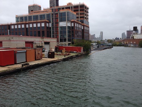
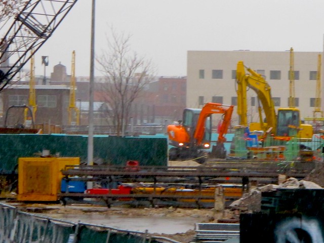
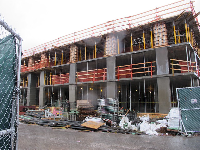
Here in Gowanus, the waters of the polluted canal were rising after a period of steady rain. Above are some photos taken today from the Carroll Street Bridge at 12:30 PM  by reader and friend Mark Karwowski.  The mechanism of the bridge were underwater which happens often when it rains here in Gowanus. More significant is the result of the rising water on the Lightstone Group residential development currently being built at 365 Bond Street. The new bulkheads in front of the building were almost totally submerged under water from the Canal.
One wonders what could happen on Sunday/ Monday, when we could potentially get some serious rain as a result of Hurricane Joaquin.

The Gowanus Canal, of course has been declared a Superfund Site by the Environmental Protection Agency.

In related news, Councilman Brad Lander sent out the following message earlier today regarding the possible effect of Hurricane Joaquin in the area.

As you know, there’s a chance that Hurricane Joaquin is headed our way. We don’t know its exact path, and hopefully it will head out into the Atlantic, rather than make landfall, as the most likely current forecasts predict (you can stay up-to-date via the National Weather Service, and the NYC Office of Emergency Management).

But since there is a real chance that the storm could hit near NYC, we should be ready. If the storm does hit, it would likely be Monday orTuesday, so please use the weekend to make sure you’re prepared:
Know your hurricane evacuation zone:NYC.gov/knowyourzone.
Have an emergency plan in place for your family: Some good tips are here, including what every household should have on hand in case of emergency (drinking water, nonperishable food, a working flashlight and batteries, etc).
Sign up for text and email notifications from Notify NYC, the City’s official source for information about emergency events and important City services, or follow @NotifyNYC on Twitter.
Report power outages or downed wires to Con Ed at 1-800-75-CONED (1-800-752-6633) or www.coned.com (where they also have helpful storm preparation tips).
National Grid customers can report gas service interruptions by calling 1-718-643-4050.

In the event that the storm does hit us, we’ll work to set up a system for you contact our office if you have any problems in your neighborhood.

A few other notes:
Whatever ends up happening with Joaquin’s trajectory, we are getting a lot of rain. As many of you know too well, there are places in our neighborhood where flooding-from-rain is chronic – especially near the Gowanus Canal , along 9th Street and 2nd Avenue. We can’t fix that before Monday, but I’m working hard to make sure that we address it with a real fix soon.
For many of us, this time spent anxiously looking at weather report is evocative of the days after Sandy, and a reminder of the tragedy we weathered together just three years ago. As I think of Sandy, I remember not only the pain we saw, but the extraordinary compassion of our community. If needed, I know that our community will respond again (and we’ll be here to help coordinate efforts). In the meantime, use this weekend to check up on an elderly or homebound neighbor.
While no single event can be pinned on climate change, there is overwhelming evidence that the increase in severe weather events is linked to global warming caused by human activity. So if Joaquin doesn’t hit, think about using the found time to take action for a more sustainable planet. I was pleased to see Mayor de Blasio come out earlier this week recommending that NYC’s pension funds divest from coal (and consider other fossil fuels as well). There are so many ways to do so – one is to get involved with 350 Brooklyn (part of the broader network o f350.org).

-Brad


***UPDATE***
High Tide In Gowanus Canal on Saturday 23rd, October 2015

Read more

Monday, April 20, 2015

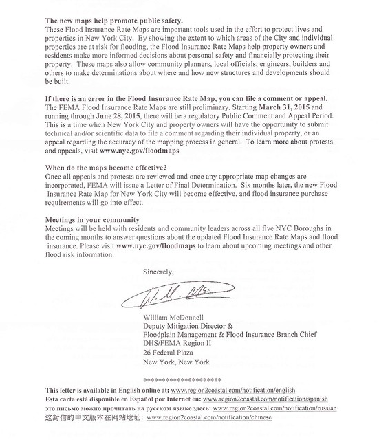
Did You Get A Letter From FEMA Regarding Updated Flood Maps And Your Property?

photo-1

001-2
002

Last week, quite a few of my friends in Gowanus received letters from the Federal Emergency Management Agency (FEMA) regarding updated flood maps for New York City.
All those who own property in or near the Special Flood Hazardous Area newly identified by FEMA should have received the letter above.
The Agency encourages everyone to identify their property's flood risk by checking the Preliminary Flood Insurance Rate Maps.
In the letter, FEMa stresses that the maps are only preliminary. A public comment and appeal period began on March 31st, 2015 and will continue until June 28th, 2015.  During this period, homeowners can challenge FEMA's new maps by sending technical and/or scientific data regarding their individual property.
After FEMA evaluates all challenges and appeals, the new maps will be incorporated and "flood insurance purchase requirements will go into effect."

What exactly will all this mean for residents in the footprint of the new flood hazard areas?
A Gowanus property owner just reached out to me late last week and sent me some questions that she has forwarded to our public officials regarding this matter:

Where can people find information on how to challenge the proposed maps? Are there any resources available to help people understand the challenge process?

Challenging this designation would require a surveyor or engineer. Are there any resources to help a homeowner with this?

Since people have just received notice of the proposed map changes they have lost at least two weeks of a 90 day comment period. Can this be extended?

Are condominiums and cooperatives treated differently or the same for insurance purposes.

Is there a difference between Zone X and "shaded" Zone X and if so what is it?

Is there some information available about flood insurance affordability?

When can lenders require flood insurance in Zone X?


Obviously, there is quite a bit of uncertainly regarding this matter. Below are just some links that may help.

Here are the flood maps from the FEMA site:
http://floodmaps.fema.gov/prelim/PrelimData/New%20York/Kings%20County/prelim_issue_date-2013-12-05/FIRM/3604970211G.pdf
Here is another site which is a bit easier to use:
http://www.region2coastal.com/view-flood-maps-data/what-is-my-bfe-address-lookup-tool/

For background and information on how to object to the proposed flood maps here is the link to the notice that was published in the Federal Register:
https://www.federalregister.gov/articles/2015/03/16/2015-05852/proposed-flood-hazard-determinations#h-4


Read more

Tuesday, December 09, 2014

Nor'Easter Brings More Flooding To Gowanus (And Lightstone Group Development)

IMG_2186
Gowanus Canal at the Carroll Street Bridge just past high tide today
IMG_2187
IMG_2189
IMG_2190
IMG_2195
Looking at the Union Street Bridge
IMG_2194
Gowanus Canal coming close to breaching its banks at noon today 
IMG_2196
IMG_2203
End of 2nd Street near the canal
IMG_2205
IMG_2224
At 3rd Street Bridge.  Whole Foods parking lot
IMG_2193
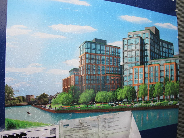
Lightstone Group's development on the banks of the Gowanus Canal at 363-365 Bond Street
IMG_2202
IMG_2198
water rising at Lightstone Group's  363 Bond Street site
IMG_2200
IMG_2199
IMG_2210
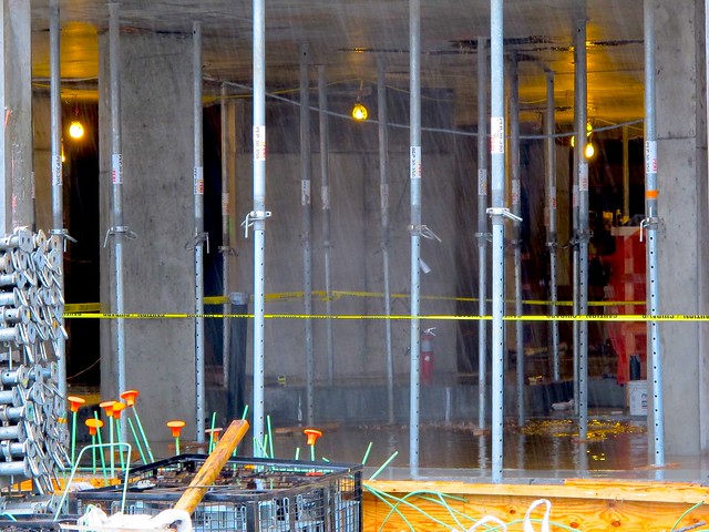
Lighststone site at 365 Bond Street.  Water surrounds the foundation of the building
IMG_2209
IMG_2211
Lighstone site at 365 Bond Street.

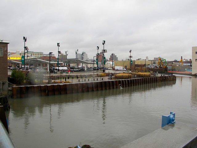
Today's Nor'Easter has drenched the area and brought more flooding to the Gowanus area. I ventured out with an umbrella and my camera about noon today in the pouring rain to take a walk across the Gowanus Canal.
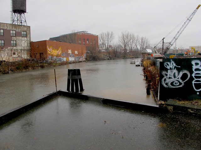
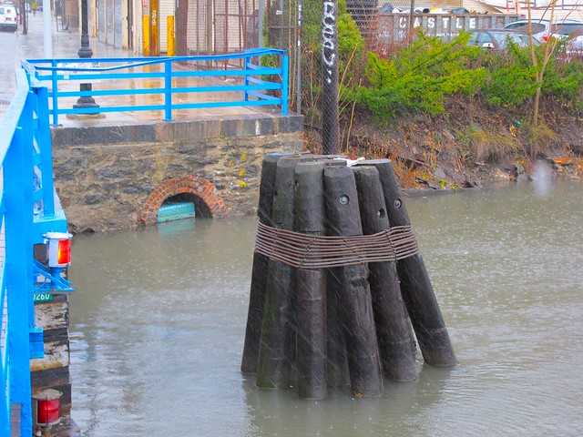
It was just past high tide, and in some areas, the water was starting to come over the banks of the canal.

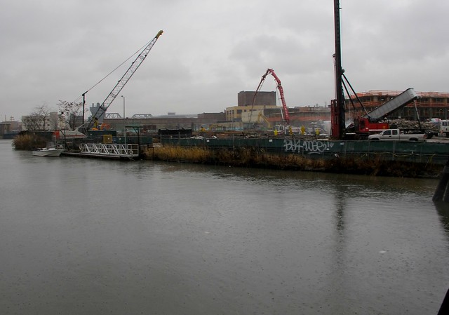
The site of Lightstone Group's 700 unit rental development at 363-365 Bond Street in particular seemed to be flooded. As crews were continuing to work on the site through the heavy downpour, water from the canal was surrounding the foundation of the building at the 365 Bond Street site near Second Street. It actually seemed as though there was a moat around it.
I talked to a worker who was taking a cigarette break nearby, who confirmed that the water was rising on the site. "They have to figure out what to do," he told me,"because that canal is dangerous."


As usual, there was flooding at the 3rd Street Bridge near Whole Foods.  However, the water does not come from the Gowanus, but pools in that location as rainwater flows down the street from the higher point at Smith Street

Since the rain is supposed to continue all through the day, flooding will probably be worse tonight at 11:30 PM tonight as high tide returns.

IMG_2218
Flooding at Third Street Bridge
IMG_2217
IMG_2222
IMG_2221


Read more